|
80893_full.jpg (109K)
|
80894_full.jpg (16K)
|
80895_full.jpg (62K)
|
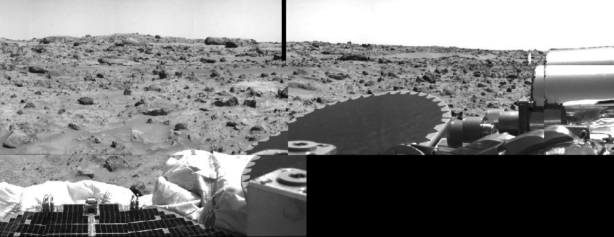
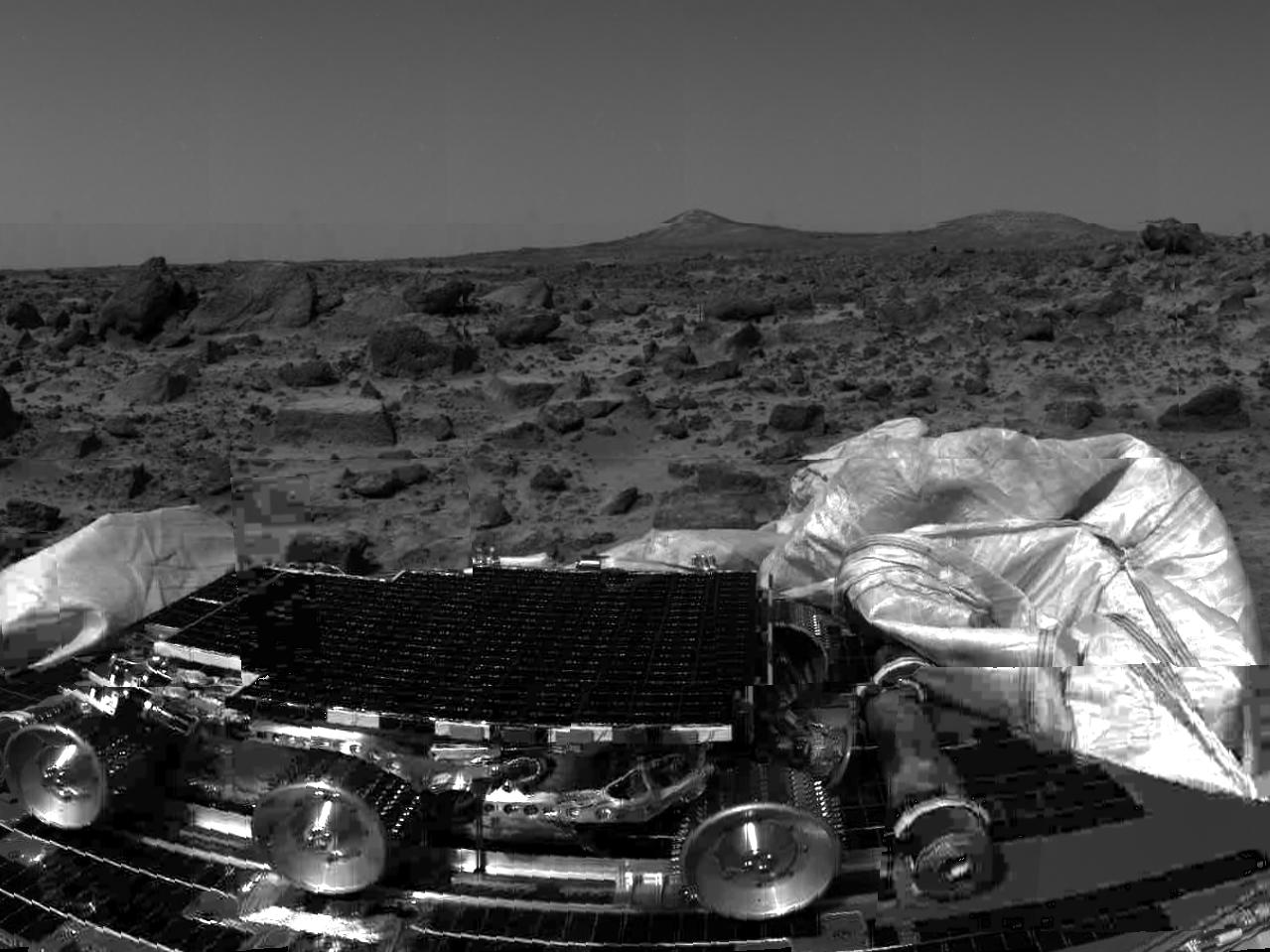
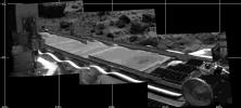
| Taken on July 5, this image shows portions
of the high gain antenna, a petal, and the retracted airbags. Geologists
are eager to examine the rocks of the Ares Vallis terrain. As predicted,
the landing site has provided a grab bag of diverse rock types and sizes. |
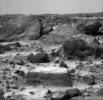
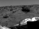
This image was taken on July 5 by the IMP
camera. The flat, table-like rock appears to be covered with dust. The
rock also displays many interesting linear features. The large rocks in
the background are intriguing because of their impressive textures. |
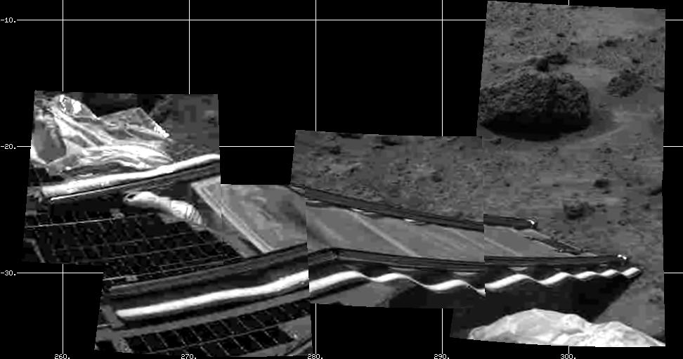
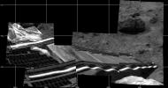
This image of the rear (or right) ramp was
taken by the IMP camera on July 5, 1997. This ramp was used to deploy the
rover. |
|
80896_full.jpg (47K)
|
80900_full.jpg (124K)
|

80901_full.jpg (109K)
|
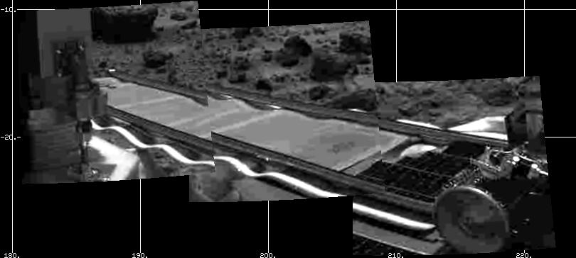
| Both the front and rear rover deployment ramps
have been deployed. This image shows the front (or left) ramp. The ramps
both measure 1 m in length. |
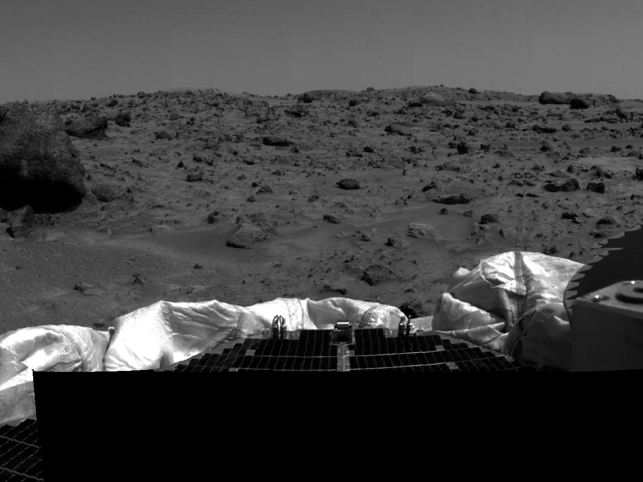
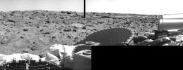
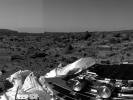
This image was taken by the IMP camera before
the rover ramps were deployed. The smaller rock in the left portion of
the image, named Barnacle Bill, will be the first rock examined by the
rover's Alpha Proton X-Ray Spectrometer (APXS). |
In the front left of this image is the site
of the first measurements taken by the APXS. Over the cold martian night,
the rover examined this soil and will transmit the data back to Earth via
the lander later this afternoon, July 6. |
|
80903_full.jpg (155K)
|

80904_full.jpg (155K)
|
| This image shows the diversity of rocks at the Ares Vallis
site. The large rocks seem to lean in a uniform direction (imbrication).
This observation suggests that catastrophic floods once ran through the
site. Seen on the horizon is a faint peak. |
Named Twin Peaks, the formation of two hills
in the background are of extreme geological interest. The left hill has
a smooth apron which may have been caused by gravitational processes or
water. The hill on the right seems to have horizontal bands running through
it. As of yet unidentified, the bands may be deposits, sedimentary layers,
or terraces cut by erosion.
The twin peaks in the distant are approximately 1 mile from the Sagan
Memorial Station. The rocks in the foreground are very diverse. Some are
rounded and suggest transport by water, others are tabular and angular
and indicate non-aqueous deposition. Preliminary hypotheses by Pathfinder
geologists are that the angular rocks were thrown from ancient, nearby
impact crater sites.
|